
Land Conversion Threatens East Java's Biodiversity, 3,849 Taxa Mapped
SURABAYA, GARISBUMI.com – East Java's biodiversity is facing pressure from land conversion, habitat fragmentation, pollution and climate change. In the midst of these challenges, the provincial government mapped 3,849 unique taxon names of flora and fauna as a basis for their management and conservation.
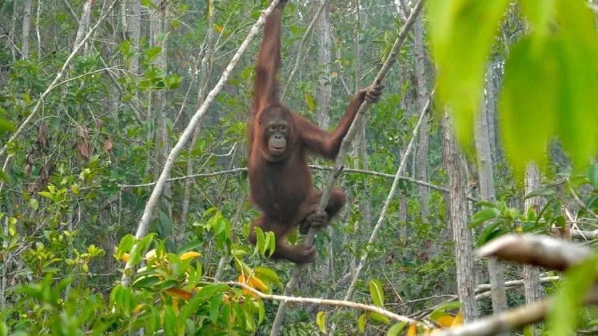
Head of the East Java Environmental Service (DLH), Nurkholis, explained that the 2026 Biodiversity Profile (Kehati) recorded 1,939 unique taxon names for flora and 1,910 unique taxon names for fauna. This wealth includes a number of animals with high conservation value, such as Bawean deer, buffalo, Javanese eagles and green peacocks.
According to Nurkholis, preserving biodiversity is closely related to people's lives. The benefits include food security, water availability, health, economy and welfare.
However, its existence faces various pressures on habitats, species and genetic resources. This challenge is part of the problem that will be answered through the East Java Biodiversity Management Master Plan (RIP Kehati) 2026–2030.
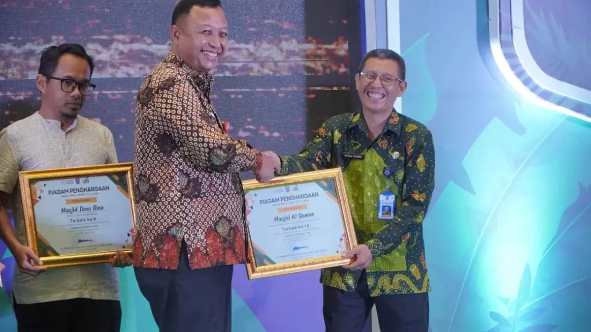
The East Java Provincial Government launched the master plan together with the 2026 Biodiversity Profile in Surabaya, Tuesday (20/10/2026). The two documents were prepared to link the mapping of natural resources with the direction of their management in regional development.
Daily Acting Regional Secretary for East Java Province, R. Heru Wahono Santoso, said that the existence of data needs to be accompanied by management guidelines.
"We already have a profile as well as a management master plan. So, we have a data map for biodiversity, and at the same time we also have a way to manage it," said Heru.
Artikel ini merupakan siaran pers resmi yang diterbitkan melalui Meja Redaksi GARIS BUMI. Materi telah melalui peninjauan editorial untuk kenyamanan dan kejelasan informasi bagi pembaca.
Share Your Thoughts Editorial Moderation Required