
West Sumatra Prepares 30 Year Environmental Plan, Arranges Four Scenarios
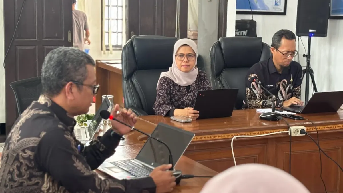
Four Scenarios for Dealing with Climate Change
Preparing environmental scenarios is important for West Sumatra because of the diversity of its natural landscape. The territory of this province includes the Bukit Barisan mountains, river basins, agricultural and urban areas, to the coast and the Mentawai Islands.
Each region has different ecological characteristics and environmental pressures. These conditions need to be taken into account in determining development direction and priority locations.
The four scenarios presented by the West Sumatra Provincial Government are based on two main driving factors. First, the transition to a green, blue, circular and low carbon economy. Second, projections of climate change and regional resilience.
These scenarios become material for formulating environmental protection policies that are appropriate to possible regional conditions in the future.
Environmental Data is the Basis for Development
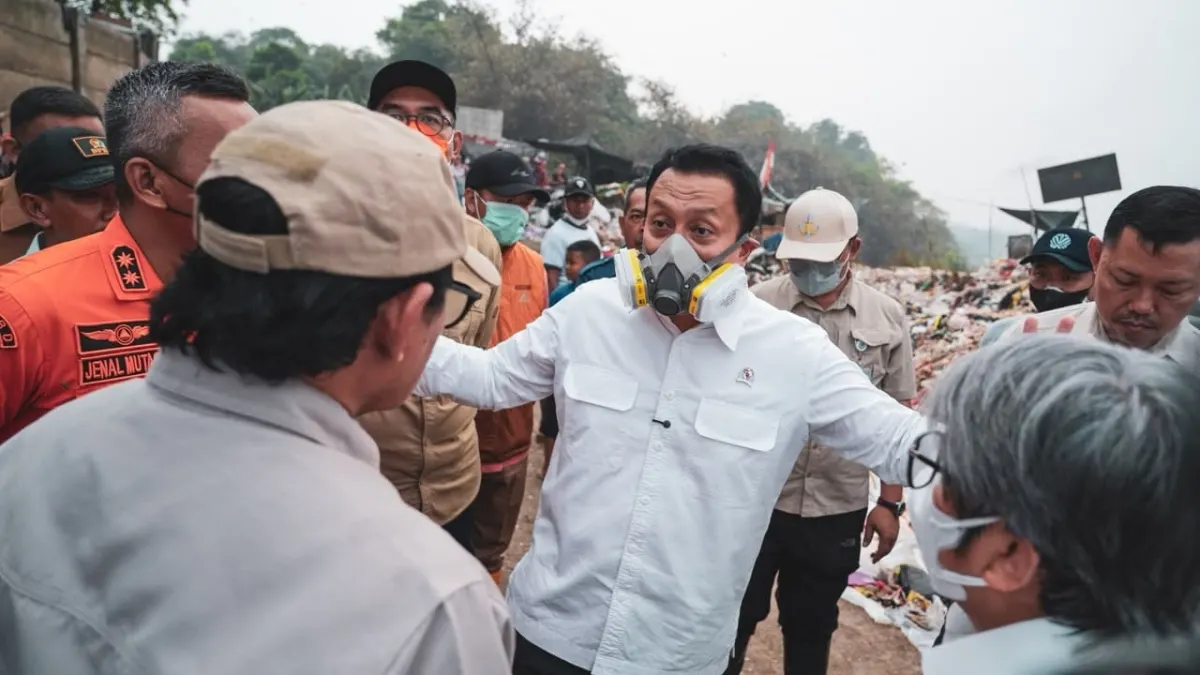
Hariani emphasized the importance of valid environmental data and information. The data includes ecoregion characteristics, environmental carrying capacity and capacity, environmental services, biodiversity, and environmental risk maps.
All this information is integrated using the Ecoregion Reference Code (KRE) so that development policies are in line with conditions on the ground.
RPPLH also needs to be connected to the Regional Long Term Development Plan (RPJPD), Regional Medium Term Development Plan (RPJMD), Regional Spatial Planning (RTRW), and regional budgeting. With this connection, environmental considerations can be included in determining development programs and budget allocations.
Artikel ini merupakan siaran pers resmi yang diterbitkan melalui Meja Redaksi GARIS BUMI. Materi telah melalui peninjauan editorial untuk kenyamanan dan kejelasan informasi bagi pembaca.
Share Your Thoughts Editorial Moderation Required