
Recovery of Lake Toba is said to be only 57 percent, administrative achievement is 89 percent
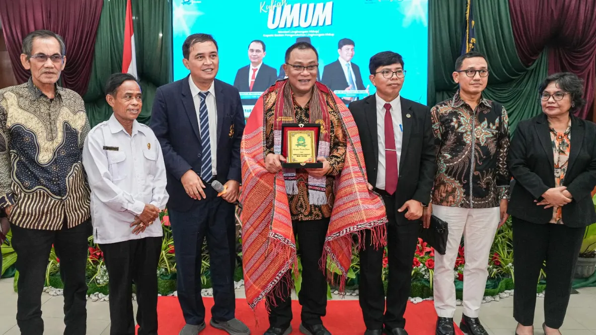
"Spatial planning is more than drawing regional boundaries. When valleys are used as settlements or slopes are used as production areas, we also determine who will face floods and landslides in the future," said Jumhur.
Job opportunities from landscape restoration
KLH/Environmental Management Agency (BPLH) said that watershed-based restoration (DAS) has the potential to open up jobs for local communities. Activities include endemic plant breeding, soil and water conservation, vegetation maintenance, and geospatial mapping.
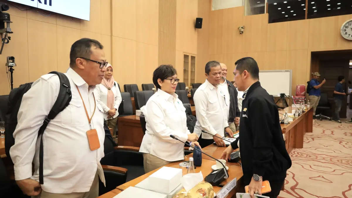
This opportunity is still a projection. The available information does not yet contain targets for employment, funding or implementation areas.
Jumhur invited universities to conduct long-term research on the relationship between extreme weather, land cover changes and public safety. Academics are also encouraged to test government and company claims regarding the feasibility of development areas.
For the public, follow-up actions that can be assessed are transparency of recovery indicators, changes in ecosystem conditions, and the use of risk data in development decisions. This measure is necessary so that administrative solutions go hand in hand with improving the environment and protecting citizens.
Artikel ini merupakan siaran pers resmi yang diterbitkan melalui Meja Redaksi GARIS BUMI. Materi telah melalui peninjauan editorial untuk kenyamanan dan kejelasan informasi bagi pembaca.
Share Your Thoughts Editorial Moderation Required