
National Hotspots Down 40 Percent, Central Kalimantan (Kalteng) Still Has the Risk of Forest and Land Fires
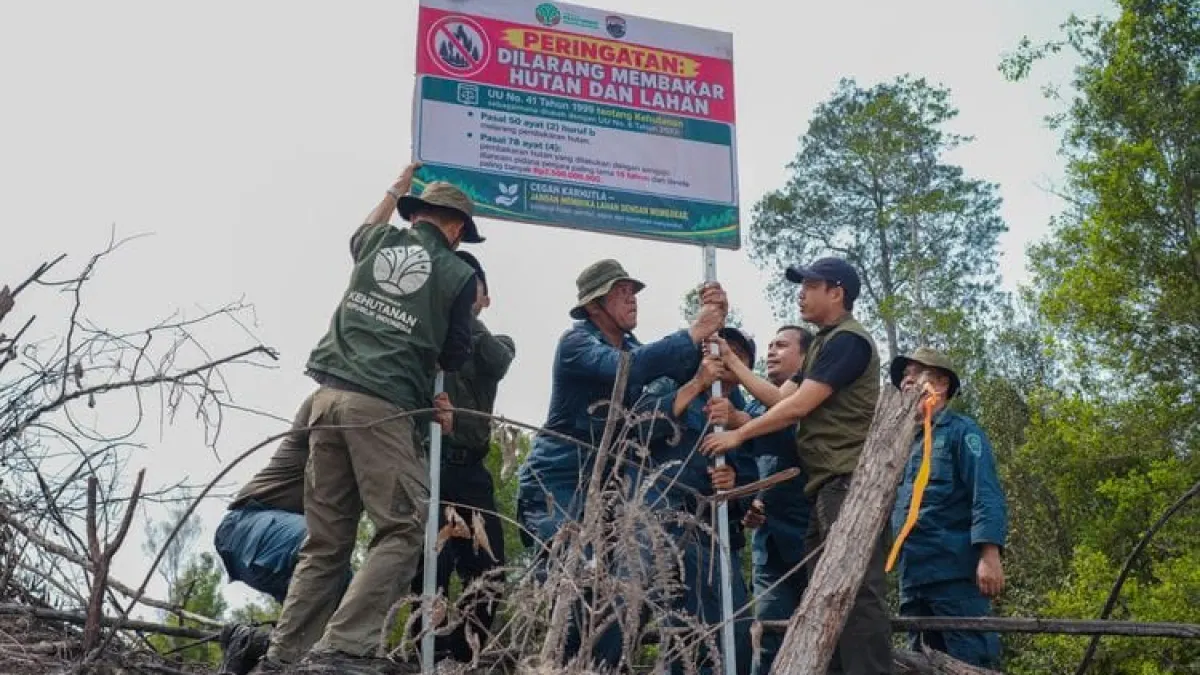
Total| 19
Hotspots are an indication of surface temperature anomalies detected by satellites. The figures cannot be directly equated with the number of fire incidents or the area of land burned.
Therefore, findings from the NASA Terra/Aqua, SNPP, and NOAA-20 satellites still require field inspection or groundcheck. Zero hotspot status in monitoring is also not enough to conclude that the entire area is fire free.
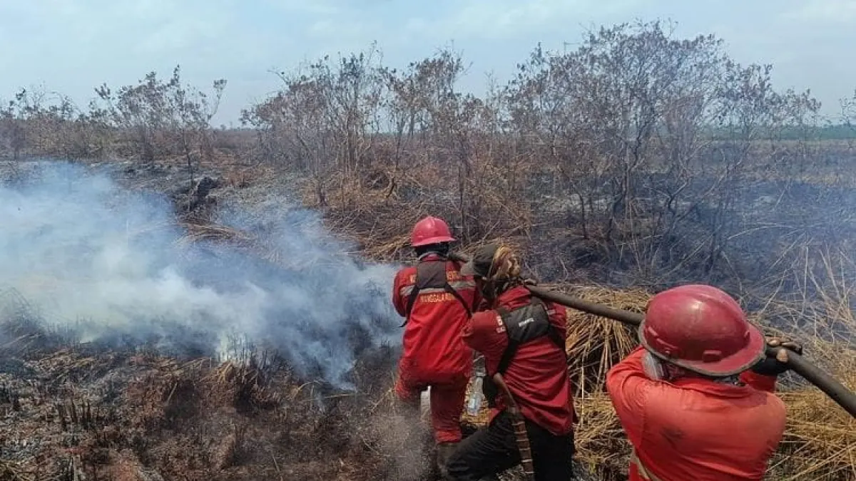
Peat embers can survive after the flame has disappeared
Central Kalimantan (Kalteng) remains one focus of control because the character of peatlands allows fire and embers to survive below the surface, even though the flames are no longer visible.
This condition means that extinguishing needs to be followed by wetting, combing out remaining embers, cooling, and further patrols. Without a field inspection, the disappearance of the flame does not ensure that the fire is completely over.
The Ministry of Forestry stated that Manggala Agni and the joint team were still carrying out operations according to the conditions of each region. Handling involves local government, officials, disaster agencies, the Fire Care Community, volunteers and the business world.
Artikel ini merupakan siaran pers resmi yang diterbitkan melalui Meja Redaksi GARIS BUMI. Materi telah melalui peninjauan editorial untuk kenyamanan dan kejelasan informasi bagi pembaca.
Share Your Thoughts Editorial Moderation Required