
Hotspots have decreased to 487 points, peat fires and air quality are still a concern
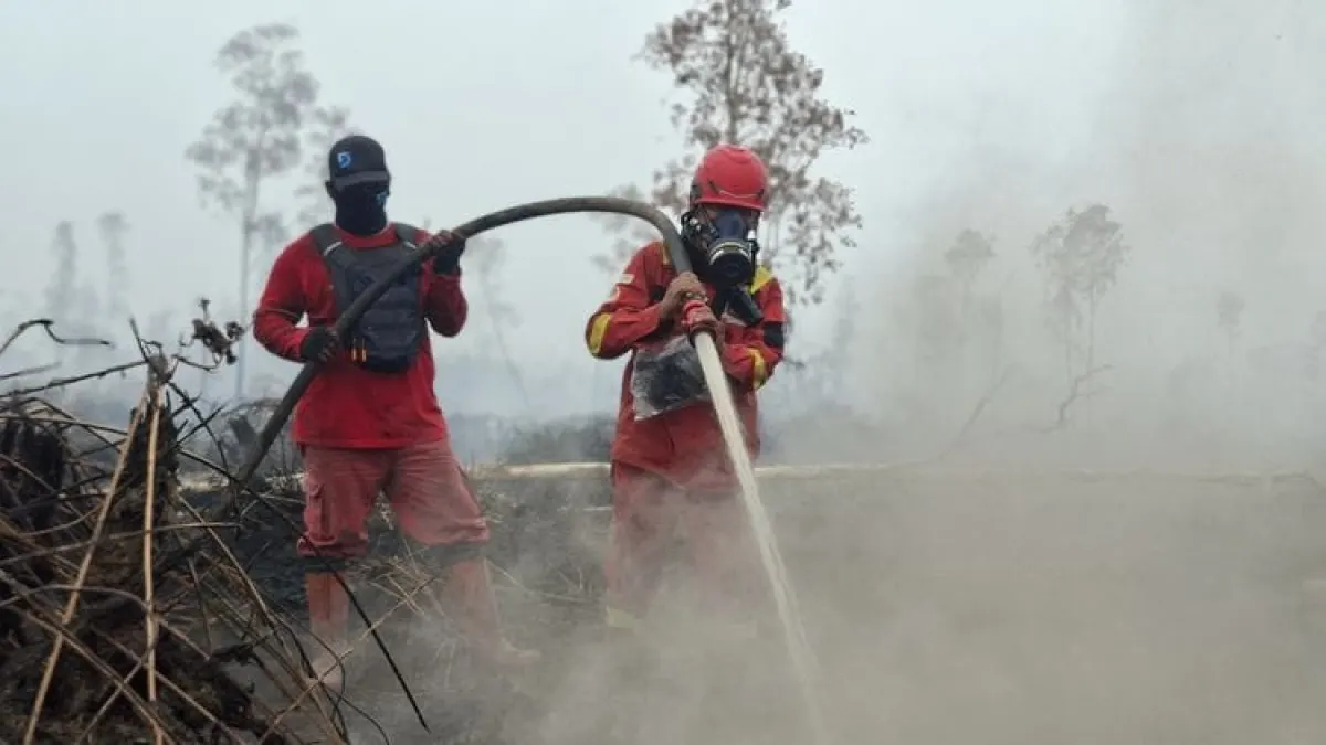
Hotspots are not the number of fire incidents
The Ministry of Forestry reminded that Hotspots are an indication of surface temperature anomalies detected via the Terra/Aqua, SNPP and NOAA-20 satellites.
A single fire event can result in multiple hotspot detections. Therefore, the number of hot spots cannot be directly equated with the number of fire incidents or the area of land burned.
Field inspections or ground checks are still needed to ensure actual conditions, including the presence of fire and remaining heat sources.
Blackouts Continue in Peatlands
In South Sumatra (Sumsel), ground operations took place in a number of locations in Muara Enim, Ogan Komering Ilir, Banyuasin and Musi Banyuasin. Some locations are peatlands with fire spreading beneath the surface.
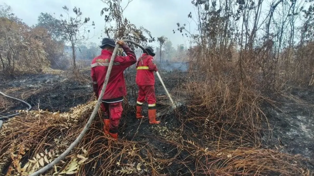
In Ogan Komering Ilir, Manggala Agni together with the TNI, the company fire team and the community divided the extinguishing sectors into the front and sides of the fire. The team also built partitions to stop the spread, amidst the challenges of thick smoke and strong winds that changed direction.
In Central Kalimantan (Kalteng), handling continues in West Kotawaringin, the Tanjung Puting National Park area, Sukamara and South Barito. A number of locations have been extinguished, but surface and subsurface fires are still found in other peat locations.
Meanwhile, operations in South Kalimantan were carried out, including at the Pelaihari Wildlife Reserve and a number of locations in Tanah Laut and Banjarbaru. Several points were successfully controlled, but monitoring continues to anticipate re-ignition.
Artikel ini merupakan siaran pers resmi yang diterbitkan melalui Meja Redaksi GARIS BUMI. Materi telah melalui peninjauan editorial untuk kenyamanan dan kejelasan informasi bagi pembaca.
Share Your Thoughts Editorial Moderation Required