
National Hotspots Break Through 20,378, West Kalimantan and Central Kalimantan Sharp Up
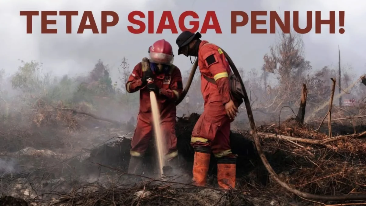
JAKARTA. EARTH LINE, GARISBUMI.com – The number of Hotspots detected in Indonesia reached 20,378 points on Saturday, August 29, 2026. The number increased from 18,092 points the day before, with the sharpest increase occurring in West Kalimantan (Kalbar) and Central Kalimantan (Kalteng).
Ministry of Forestry data collected through the SiPongi system shows Hotspots in West Kalimantan (Kalbar) jumped from 3,384 to 6,526 spots. Meanwhile, in Central Kalimantan (Kalteng), it increased from 7,703 to 8,488 points. The data used satellite observations of NASA Terra/Aqua, SNPP, and NOAA-20 until 23:59 WIB.
Different conditions occurred in the other four priority provinces. Hotspots in South Kalimantan dropped from 1,354 to 867 points, South Sumatra (Sumsel) from 1,036 to 808 points, Riau from 265 to 254 points, and Jambi from 181 to 159 points.
The Ministry of Forestry emphasized that Hotspots are not the same as the number of fire incidents. Hotspots are indications of satellite-detected surface temperature anomalies. One fire event can produce several Hotspots so that each fixed point must be verified through field inspections.
Until August 29 at 09.00 WIB, the team recorded 112 reports of forest fires and firespot inspections in 11 provinces. A total of 47 incidents have been declared extinguished, while 65 others are still being dealt with.
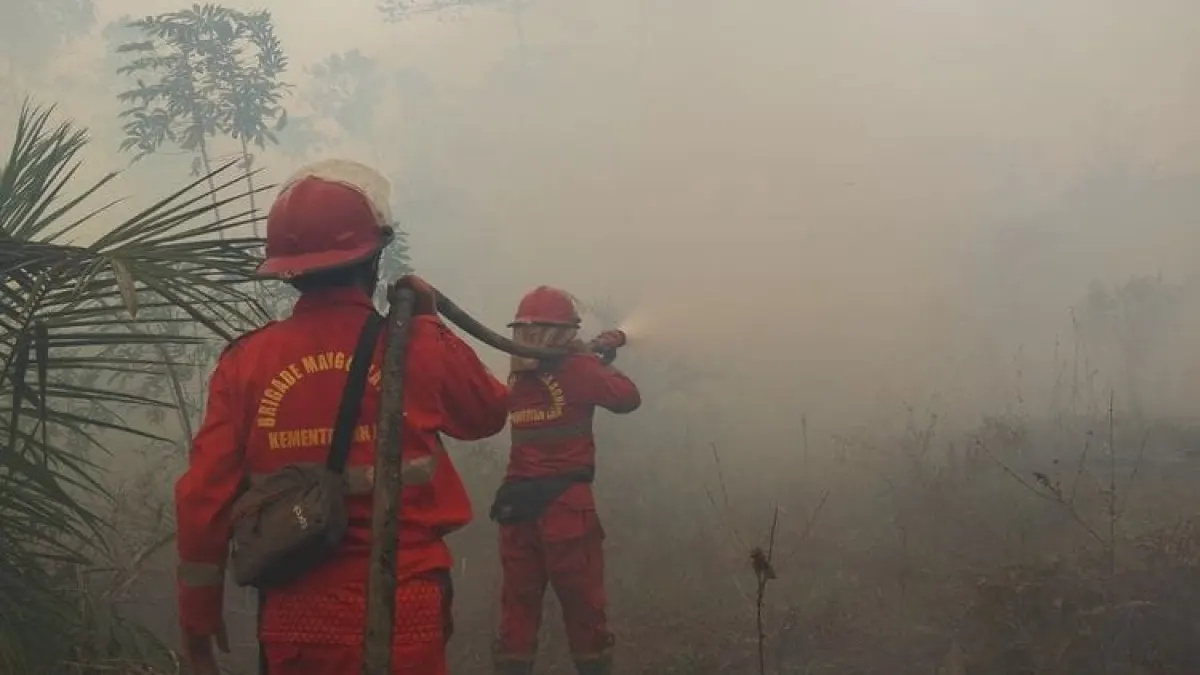
The handling was carried out by Manggala Agni with the TNI, Police, BNPB, BMKG, BPBD, local governments, communities, and the business world. Operations include patrols, field inspections, ground extinguishers, fire isolation, cooling, and monitoring of potentially burnt-out sites. Water bombing support and weather modification operations are also prepared if meteorological conditions allow.
Throughout 2026, the Ministry of Forestry recorded 4,682 forestry handling operations with a total handling area of 38,277.43 hectares.
Share Your Thoughts Editorial Moderation Required