Bawean Rocks and Landscapes Researched, Mapped Objects of Protective Value
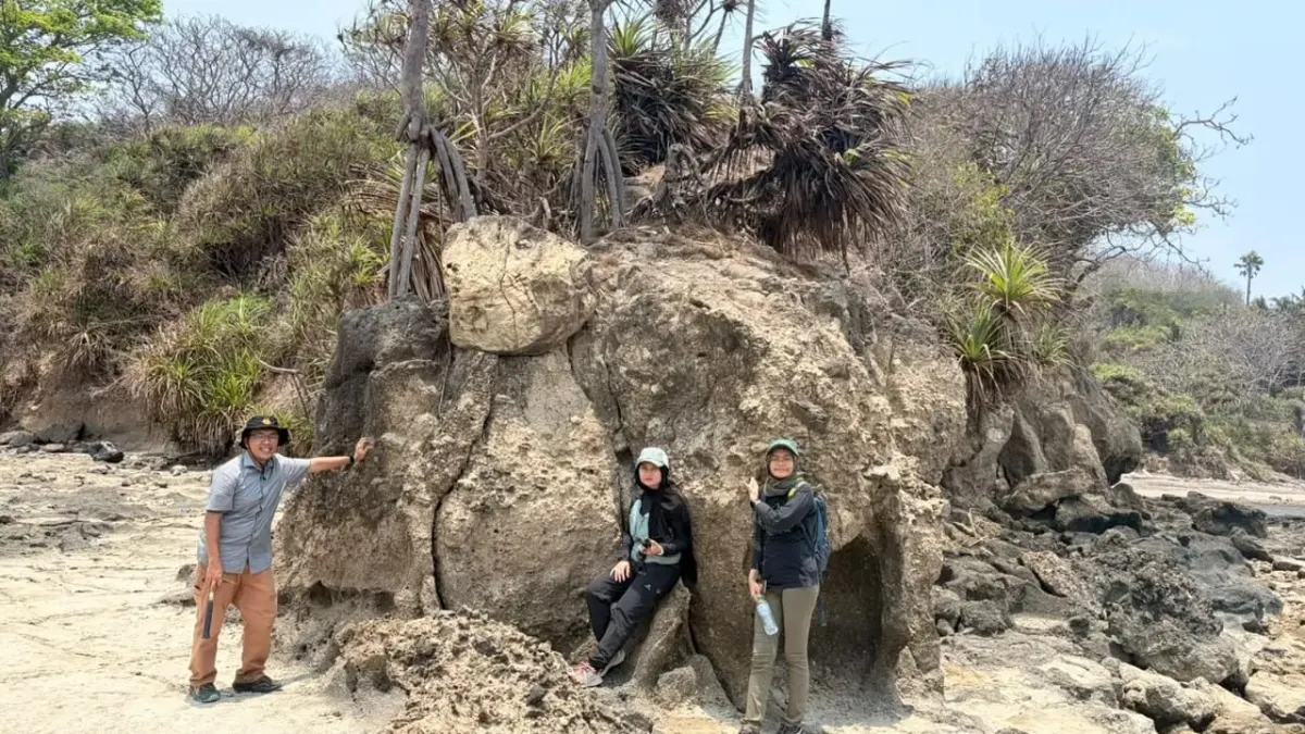
Visits to Lake Kastoba were also carried out for geological data collection, not tourism development. Activities in conservation areas are carried out based on a Conservation Area Entry Permit (SIMAKSI) issued by BBKSDA East Java.
This investigation places rocks and natural landscapes as objects that need to be understood based on data, not solely on the beauty of the scenery.
Recognizing Bawean from its Rocks and Natural Landscapes
Bawean has been known for its endemic deer and conservation forest areas. Geological searches open up another perspective to recognize the island through its rocks, relief, water, and natural landscape formation processes.
These geological elements also shape the space where ecosystems develop. Collecting field data is a step to understanding the character of the Bawean landscape as well as identifying its protection value.

Through inventory and mapping of object boundaries, the team gathered the scientific basis needed to investigate the Bawean Geological Reserve Area.
---
Artikel ini merupakan siaran pers resmi yang diterbitkan melalui Meja Redaksi GARIS BUMI. Materi telah melalui peninjauan editorial untuk kenyamanan dan kejelasan informasi bagi pembaca.
Share Your Thoughts Editorial Moderation Required