
National Hotspots Down 63 Percent, Forest and Land Fire Smoke Still Covers Sumatra and Kalimantan

• South Sumatra (Sumsel) 4 points, down from 17 points
• Jambi 2 points, after previously being nil
• Riau nil, unchanged from the previous day
Central Kalimantan (Kalteng) recorded the largest decline, reaching 487 points. However, the province still has the highest number of hot spots among the six priority areas.
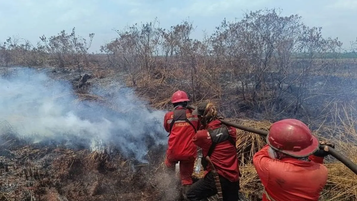
The Ministry of Forestry emphasized that Hotspots are an indication of surface temperature anomalies detected by satellites. This data cannot be directly interpreted as the number of fire incidents or the area of land burned.
One fire event can be detected as multiple hot spots. Therefore, every finding must be verified through a field inspection or groundcheck.
Artikel ini merupakan siaran pers resmi yang diterbitkan melalui Meja Redaksi GARIS BUMI. Materi telah melalui peninjauan editorial untuk kenyamanan dan kejelasan informasi bagi pembaca.
Share Your Thoughts Editorial Moderation Required