
National Hotspots Jump to 1,271, Central Kalimantan (Kalteng) and West Kalimantan (Kalbar) Become Focus of Forest and Forestry Control
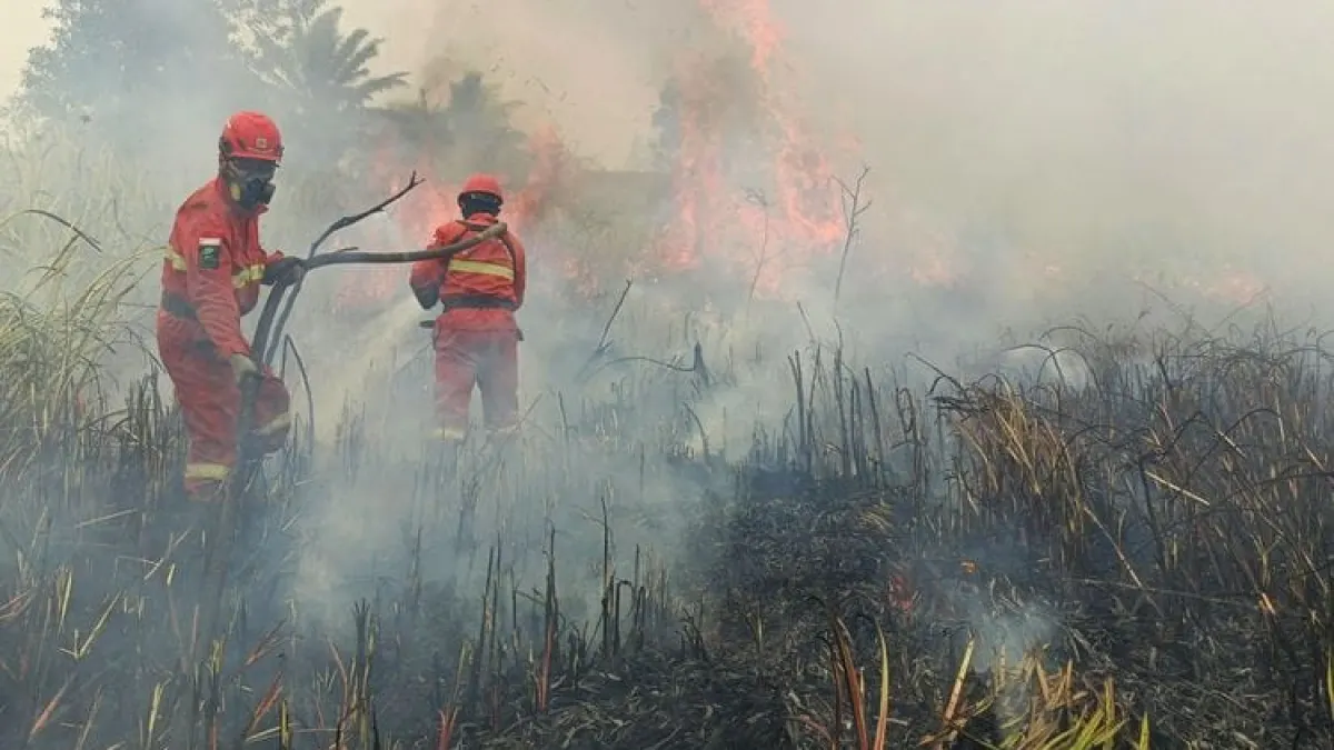
JAKARTA, GARISBUMI.com – The number of hot spots or Hotspots with a high level of confidence in Indonesia increased to 1,271 spots on Friday (2/10/2026). This figure increased by 689 points compared to the previous day which was recorded at 582 points.
The Ministry of Forestry is strengthening control of forest and land fires (karhutla) through land and air operations. Attention is especially directed to Central Kalimantan (Kalteng) and West Kalimantan (Kalbar), the two regions with the highest Hotspots among the six priority provinces.
Based on monitoring by the Early Detection Information System for Forest and Land Fire Control (SiPongi) as of Friday at 21.10 WIB, Central Kalimantan (Kalteng) recorded 355 Hotspots, up from 205 spots. Meanwhile, West Kalimantan (Kalbar) recorded 246 Hotspots, after previous monitoring did not detect any Hotspots with a high level of confidence.
Overall, the six priority provinces recorded 726 Hotspots, an increase from 348 the day before. This data comes from the NASA Terra/Aqua, NASA SNPP, and NASA NOAA-20 satellites.
Details of Hotspots in the six priority provinces are:
- Central Kalimantan (Kalteng): 355 points, previously 205 points.
- West Kalimantan (Kalbar): 246 points, previously nil.
- South Sumatra (Sumsel): 83 points, previously 78 points.
- South Kalimantan: 42 points, previously 63 points.
- Riau: nil, previously two points.
- Jambi: still nil.
In a written statement, Saturday (3/10/2026), the Ministry of Forestry emphasized that Hotspots do not indicate the number of fire incidents or the area of land burned.
"Hotspots are an indication of surface temperature anomalies detected by satellites and not the number of fire incidents or the area burned," said the ministry's statement.
One fire event can be detected as several Hotspots. Therefore, every indication needs to be checked directly in the field via groundcheck to ensure conditions and determine treatment.
61 Air Fleet Alerted
Controlling forest and land fires is carried out by Manggala Agni together with BNPB, TNI, Polri, BMKG, BPBD, local government, community, volunteers and the business world.
A total of 61 air fleets were alerted, consisting of 17 units for patrols and Weather Modification Operations (OMC), and 44 units for water bombing.
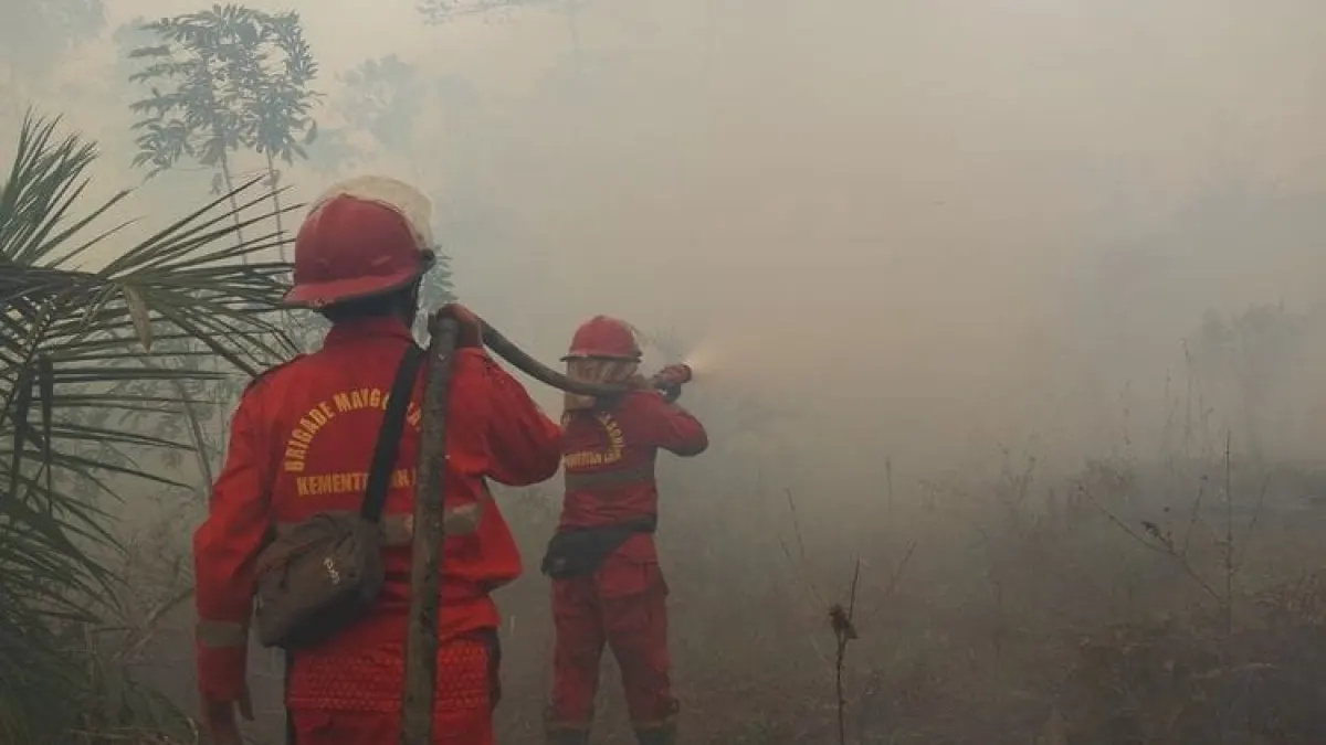
On land, officers carry out patrols, hotspot checks, direct extinguishing, blocking the spread of fire, wetting, as well as cooling and eliminating remaining embers.
Handling peatlands receives special attention because embers can persist and spread beneath the surface even though fires above ground have reduced. Wetting and cooling need to be continued until the location is completely safe.
Air Quality and Affected Animals Monitored
The Ministry of Forestry also presented the results of air quality monitoring based on the concentration of PM2.5 fine particles. Most of Indonesia's territory is in the good to moderate category.
However, several parts of Sumatra, Kalimantan, Java and Papua show unhealthy to very unhealthy conditions. In some areas of Kalimantan, there are also pockets of areas with air quality categorized as dangerous.
Air conditions can change according to the development of the fire, smoke movement, wind direction and speed, and atmospheric conditions. The public is asked to follow official information and regional government directions.
If air quality worsens, residents are advised to reduce outdoor activities and use masks when they have to go out. Special attention is required for children, pregnant women, the elderly, as well as residents with respiratory problems or chronic diseases.
Apart from threatening human health, forest and land fires can disrupt the habitat, food sources and movement routes of wild animals. The Natural Resources Conservation Agency (BKSDA) and related units carry out monitoring and assessment of reports of affected animals.
Residents who find injured animals, trapped in fires, or enter residential areas are asked to keep their distance and not evacuate themselves. The location and condition of the animals can be recorded if possible, then reported to the BKSDA or nearest forestry officer.
The Ministry of Forestry has again reminded the public and business actors not to clear or clear land by burning. Early reports regarding smoke, Hotspots and burning activity are needed so that officers can deal with fires before they spread. CMS Tags: Forest and Forestry, Hotspots, Ministry of Forestry, Central Kalimantan (Kalteng), West Kalimantan (Kalbar), Manggala Agni
Share Your Thoughts Editorial Moderation Required