
Forest and Land Fires Threaten Wildlife Habitat, Ministry of Forestry Strengthens Protection
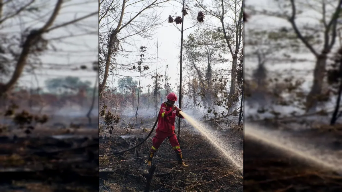
Officers continue to carry out field inspections to ensure actual conditions and determine the necessary treatment.
Hotspots are an indication of surface temperature anomalies detected by satellites, not the number of fire incidents or the size of the burned area. One fire incident can be detected as several Hotspots so each indication needs to be verified.
Blackouts Support Habitat Protection
To control forest and land fires, 61 air fleet units were alerted. The fleet consists of 17 units for patrols and Weather Modification Operations (OMC), as well as 44 units for sprinkling water from the air or water bombing.
A total of 55 units support operations in six priority provinces, while the rest of the fleet is used in areas that need it.

Air operations work together with ground patrols, direct extinguishing, blocking the spread of fire, wetting, extinguishing remaining embers and cooling. Peatlands are of particular concern because embers can persist beneath the surface even though surface fires have diminished.
Control is carried out by Manggala Agni together with BNPB, TNI, Polri, BMKG, BPBD, local government, community, business world and other related parties.
The Ministry of Forestry has again reminded the public and business actors not to clear or clear land by burning. Findings of smoke, hot spots or burning activity need to be reported immediately so that treatment can be carried out before the fire spreads and threatens animal habitats.
Share Your Thoughts Editorial Moderation Required