Bandung Maps Flood and Landslide Risk, River Bank Residents Asked to Prepare Evacuation
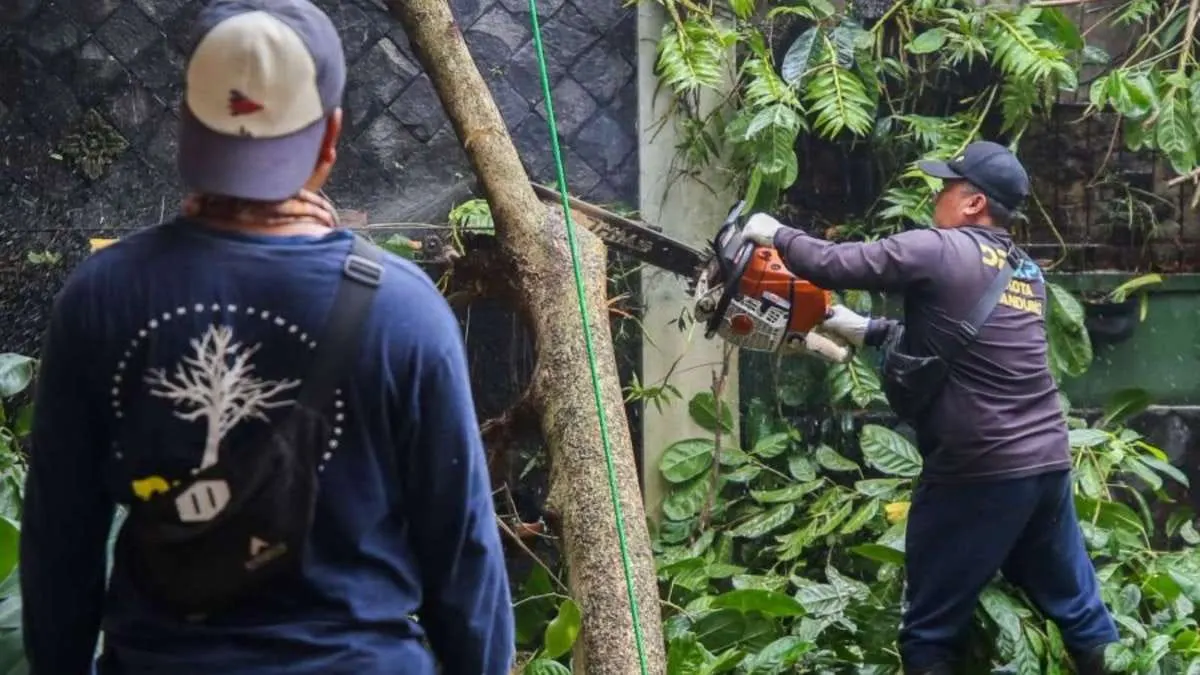
Inundations were also still found in a number of locations, including Margacinta and Kopo. In the Kopo area, around three points of inundation were recorded during heavy rain.
These records show that there were incidents in the field, but the available information does not yet detail the number of people affected, the damage, or the depth of inundation at each location.
Channel dredging is ongoing, residents' readiness is still needed
To reduce the risk of flooding, the Bandung City Water Resources and Highways Service (DSDABM) carries out channel maintenance, including dredging sedimentation.
Maintenance is needed to maintain water flow capacity and prevent blockages due to rubbish and sediment.
According to Didi, mitigation during the rainy season needs to be carried out through two approaches: maintaining infrastructure function and increasing community preparedness. Channel dredging is part of this effort, while residents need to know the threats around their homes and steps to save them.
For residents around rivers, evacuation plans need to include destinations and ways to get to a safe place when an emergency occurs. Securing items should not delay self-rescue.
Artikel ini merupakan siaran pers resmi yang diterbitkan melalui Meja Redaksi GARIS BUMI. Materi telah melalui peninjauan editorial untuk kenyamanan dan kejelasan informasi bagi pembaca.
Share Your Thoughts Editorial Moderation Required