
National Hotspots Decreased to 666 Points, South Sumatra (Sumsel) Actually Increased
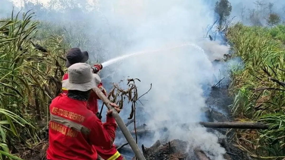
The Ministry of Forestry emphasized that Hotspots are an indication of surface temperature anomalies detected by satellites. The number cannot be directly equated with the number of fire incidents or the area of burned land.
One fire event can be detected as several Hotspots. Therefore, indications from satellites still need to be checked directly in the field or through ground checks to ensure actual conditions and determine treatment.
A total of 61 Air Fleets were alerted
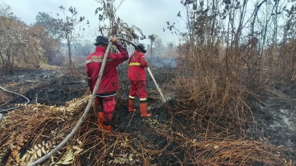
Controlling forest and land fires is carried out by Manggala Agni together with BNPB, TNI, Polri, BMKG, BPBD, local government, community, volunteers, business world and related parties.
The government has alerted 61 air fleet units, consisting of 17 units for patrols and Weather Modification Operations (OMC), and 44 units for water bombing.
Special attention is paid to peatland ecosystem fires. Embers can survive and spread beneath the surface even though the fire above ground is no longer visible. Wetting and cooling need to be continued until the location is completely safe.
Air Quality and Affected Animals Monitored
The government also monitors air conditions based on the concentration of PM2.5 fine particulates. According to the Ministry of Forestry, most of Indonesia's territory is in the good to moderate category.
However, a number of locations in parts of Sumatra, Kalimantan, Java and Papua show unhealthy to very unhealthy conditions. In several locations, air conditions are also listed as dangerous.
Artikel ini merupakan siaran pers resmi yang diterbitkan melalui Meja Redaksi GARIS BUMI. Materi telah melalui peninjauan editorial untuk kenyamanan dan kejelasan informasi bagi pembaca.
Share Your Thoughts Editorial Moderation Required