
From Navigation to Disaster Monitoring, BRIN Introduces the Benefits of Satellites to Students
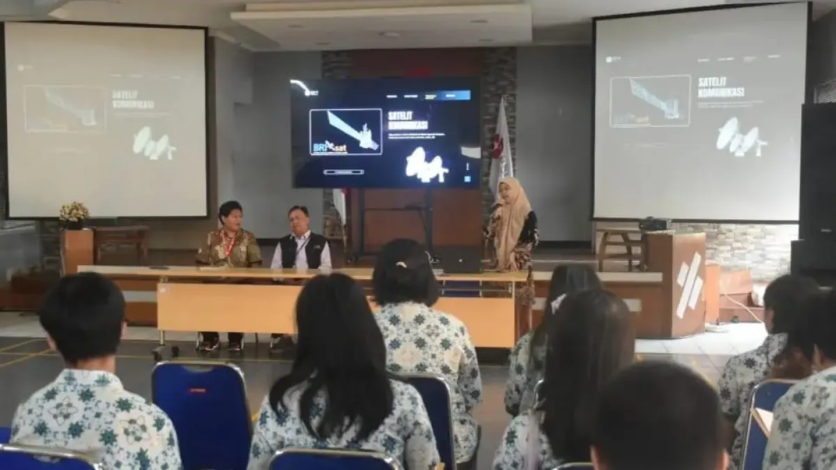
BOGOR, GARISBUMI.com – Satellite technology helps people find directions of travel and monitor areas affected by disasters. Images recorded from space are also used to observe forests, agriculture and waters for decision making.
These benefits were introduced by the Young Expert Engineer at the Satellite Technology Research Center of the National Research and Innovation Agency (BRIN), Ega Asti Anggari, to the students of Bogor Montessori School in the Ibnoe Soebroto Science Area, Rancabungur, Bogor.
Ega invites students to understand satellite technology through examples that are close to everyday life, from navigation on smartphones to communication services.
"Navigation satellites help determine the position and direction of planes, ships, vehicles, and smartphone users. This technology makes it easier for us to find locations, plan trips and improve transportation safety," said Ega.
Meanwhile, communications satellites support telephone, television, radio and internet services. This technology helps connect areas separated by oceans or difficult-to-reach terrain.

Satellite Imagery for Environmental Monitoring
In environmental monitoring, remote sensing satellites record the Earth's surface from space. The resulting data can be used to observe the condition of forests, agricultural land and waters and map areas.
Satellite imagery also helps deal with floods and forest fires. Its ability to monitor areas widely allows related parties to obtain an overview of affected areas as a basis for decision making.
Artikel ini merupakan siaran pers resmi yang diterbitkan melalui Meja Redaksi GARIS BUMI. Materi telah melalui peninjauan editorial untuk kenyamanan dan kejelasan informasi bagi pembaca.
Share Your Thoughts Editorial Moderation Required